TALKIN’ TEP
McGregor Square Central Plaza
What Is TEP Design?
A Transportation Engineering Plan (TEP) is a set of construction plans prepared for a land development project documenting the public right-of-way improvements required. It is where transportation engineering, the planning, and design of transportation infrastructure (roads, bridges, tunnels, etc.), meets land development design (site planning, grading/drainage, and utility connections), and where jurisdictions can leverage private development to enforce code requirements for public improvements (e.g., sidewalk/alley/roadway widths, public trees/landscaping, bicycle/multipurpose paths).
Specific to the City of Denver, the TEP is a specific permit plan set focused on improvements within the public right-of-way that coincides with other planning (SDP) or engineering (SSPR, SUDP, CASDP, etc.) permit plan sets for land development. These permit plan sets need to be approved prior to the City’s approval of a building permit for construction and often require review and coordination amongst many different City departments like Life Safety, Fire Dept., Public Works, Transportation/Infrastructure, Forestry, Zoning, etc.
Why Is TEP Design Important?
The design of public right-of-way is where the public and private realms meet. It is the transition between a specific land development project (an office, a hotel, a hospital, a school, or an apartment building), and the rest of the jurisdiction it is in (a downtown city, and suburban thoroughfare, or a rural main street). By providing considerate and thoughtful design of the adjacent public right-of-way through a TEP plan set, engineers can seamlessly integrate projects into the specific settings and characteristics of the neighborhoods they are in.
Furthermore, the design of TEP construction plan sets is necessary for a successful infrastructure network. Thinking of a city as a large quilt, and each private development as a patch of that quilt, it is public infrastructure (roads, sidewalks, utilities, etc.) that connect them all together. Quality TEP design plays a key role in facilitating the movement of people and goods and has important implications for a jurisdiction’s sustainability, public health, and economic development.
Where Does R&R Fit into the TEP Process
The public right-of-way is where public infrastructure lives and where a private development needs to connect to greater infrastructure systems such as roadway networks for vehicular access or water, sanitary sewer, and storm sewer systems to serve the project. It’s a civil engineer’s job to design these transitions and connections, and in conjunction with the architect and landscape architect, create an environment that serves the needs of the public as well as the private development. Check out a few highlights of successful Denver projects with extensive TEP needs that R&R has delivered on:
McGregor Square
Special consideration was given to the 3-story below-grade structured parking to replace the surface parking stalls and provide below-grade “back of house” services for all buildings above since no alley was included. R&R worked to enhance the existing Wynkoop Plaza in addition to the new Central Plaza for street-level activation.
Through concurrent zoning, planning, and engineering submittal and expedited construction document preparation this major city block redevelopment was fast-tracked for permitting in record time.
101 N. Broadway
The improvements were aimed at enhancing pedestrian walkability and providing an elevated outdoor dining area for the proposed retail tenants’ needs. R&R utilized 3D Laser Scanning to comprehensively map out and verify existing conditions of the streetscape and intersection for design.
The project involved close coordination with the City and County of Denver’s Department of Infrastructure for utility and drainage design and connectivity. This collaborative effort allowed for a custom streetscape design, meeting the City’s needs for safety and access while balancing the property owner and tenant’s wishes for an activated ground level. The result is a well-thought-out interface between public and private spaces.
R&R was proud to bookend our work in this project by providing a construction staking layout for the new sidewalks, curb/gutter, and northwest corner of the 1st & Broadway intersection.
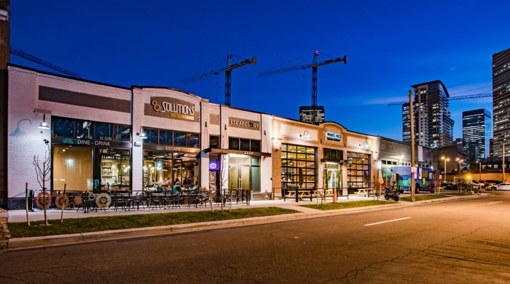
2200 California
R&R provided integrated site survey and civil engineering services for this adaptive reuse project, with a specific focus on updating utility connections and new streetscape for public right-of-way.
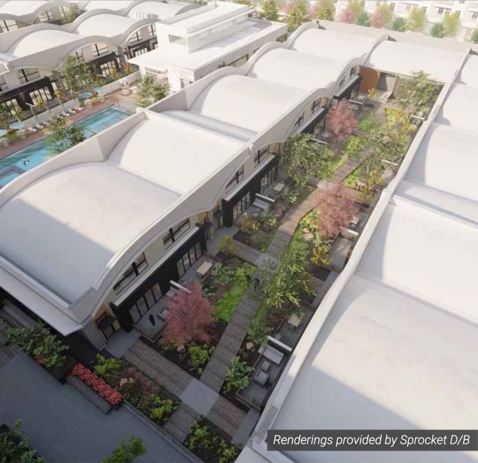
Currently, in design, the High-Iron 40 redevelopment includes infrastructure and vertical design for upgraded stormwater management, with rain gardens and bio-retention swales and upsized utilities for phased construction of the 14-acre site. Bordering E. 40th Avenue, special consideration was given to vehicle access and improved pedestrian mobility.
Galvanize 1.0
A ground-breaking renovation of the former Rocky Mountain Bank Note Co. Building, R&R worked hand-in-hand with the Architect to upgrade the public sidewalks and access to the site to be suitable for Denver’s first collaborative office-sharing location.
Renaissance Marriott – Downtown Denver City Center
(former Colorado National Bank)
For this unique adaptive reuse project, R&R worked with the design team to conduct a thorough survey of the adjacent sidewalks, roadways, and vehicular/pedestrian access points for the site of the former, historic bank building. With that site data, R&R provided civil design to allow for new vehicular drop-off and guest access for the hotel use, as well as right-of-way upgrades to meet current City code and enhance the public realm.
Do you have a tricky development project with right-of-way needs?
Gives us a call at (303) 753-6730 or email us at LetsChat@rrengineers.com.


